ArcGIS Pro · 01 · Data preparation
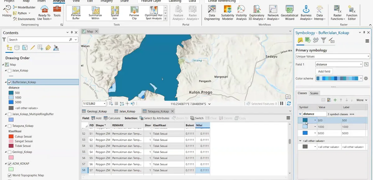
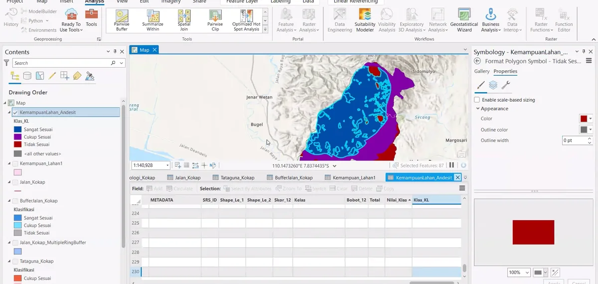
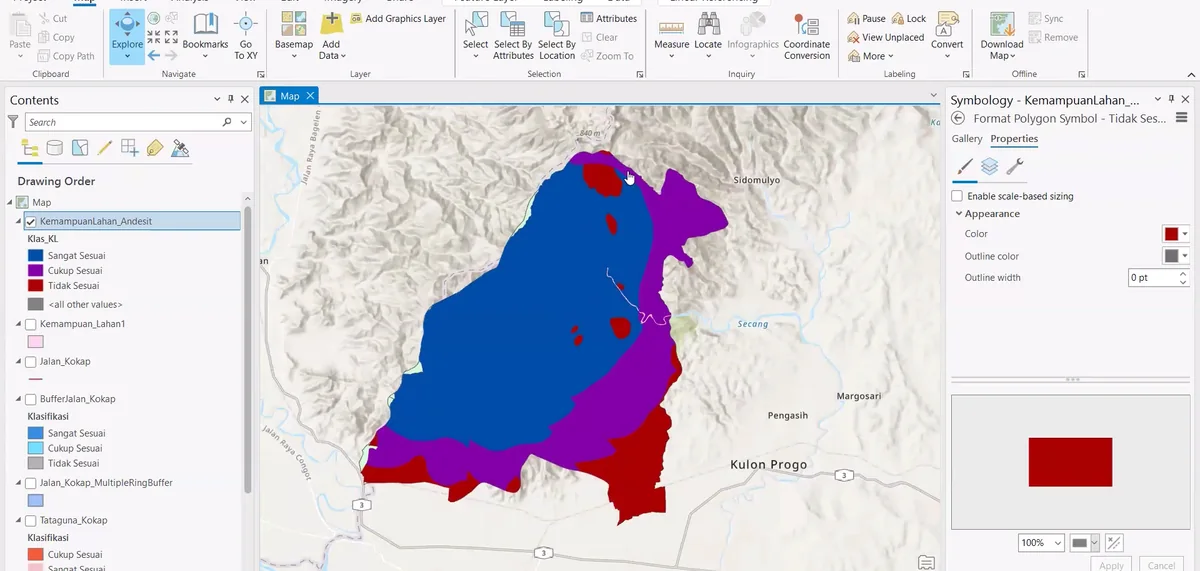
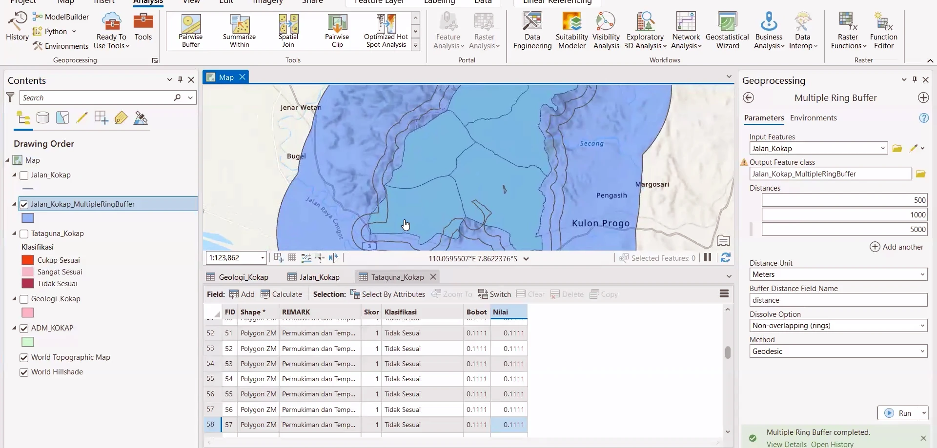
Inspecting mapped polygons and attributes
Inspecting mapped polygons and attributes is documented in ArcGIS Pro at the 01 · data preparation stage. Inspecting mapped polygons and attributes is documented in ArcGIS Pro at the 01 · data preparation stage.
SOURCE-LED TECHNICAL READING
Geological interpretation and evidential boundary
Inspecting mapped polygons and attributes is documented in ArcGIS Pro at the 01 · data preparation stage. Inspecting mapped polygons and attributes is documented in ArcGIS Pro at the 01 · data preparation stage. Inspecting mapped polygons and attributes is documented in ArcGIS Pro at the 01 · data preparation stage. This establishes a clean attribute basis for geological-unit classification and subsequent cartographic editing.
- Source
- Private software-workflow archive · controlled source record
- Location in source
- Source-linked record
- Image quality
- HD
- Record ID
- arcgis-212244