PTBA Internship Report · internship-4-1
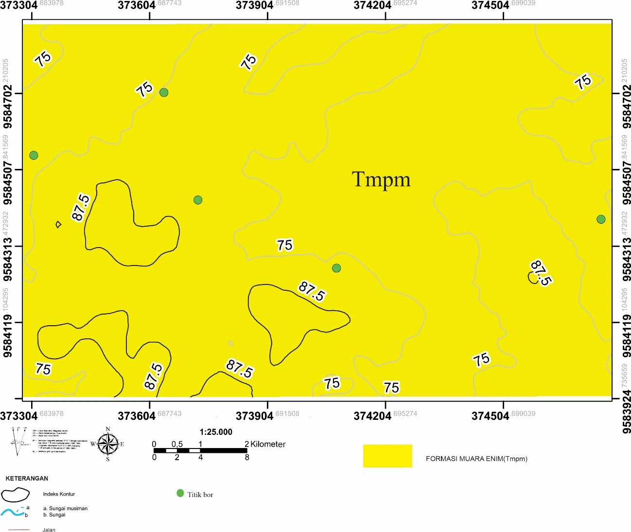
Borehole-location map
The borehole map is the spatial control for every internship correlation that follows. Collar distribution, coordinate reference system, elevation datum and the distinction between mapped seam traces and subsurface picks determine where continuity is observed and where it is interpolated.
SOURCE-LED TECHNICAL READING
Geological interpretation and evidential boundary
The borehole map is the spatial control for every internship correlation that follows. Collar distribution, coordinate reference system, elevation datum and the distinction between mapped seam traces and subsurface picks determine where continuity is observed and where it is interpolated. Clusters of wells provide local redundancy; wide gaps and model edges do not. The map should therefore be read as an uncertainty surface as much as a locator, with confidence decreasing away from the drilled control.
- Source
- Private internship source vault · Chapter IV record
- Location in source
- Chapter IV
- Image quality
- Source scan
- Record ID
- internship-4-1