Geological Mapping · mapping-4-8
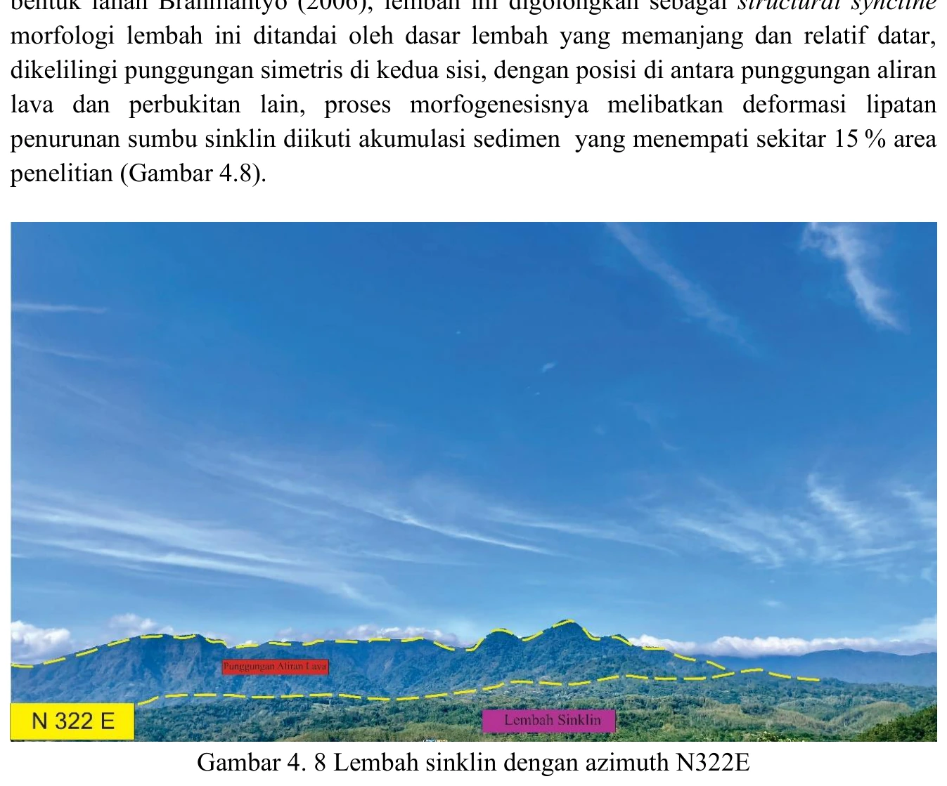
Valley interpreted in a synclinal setting
A valley positioned over a mapped synclinal domain is a plausible example of structural inversion in which erosion preferentially follows weaker or more fractured core strata, but the photograph cannot demonstrate synclinal geometry.
SOURCE-LED TECHNICAL READING
Geological interpretation and evidential boundary
A valley positioned over a mapped synclinal domain is a plausible example of structural inversion in which erosion preferentially follows weaker or more fractured core strata, but the photograph cannot demonstrate synclinal geometry. The interpretation must be anchored by opposing limb dips, a statistically defined fold axis, contact repetition and a cross-section that honours topography and apparent-versus-true dip. Differential lithologic erodibility, fault-guided incision or inherited drainage are credible alternatives. The valley is therefore an expression to be predicted by, and then tested against, the structural model: if the fold interpretation is correct, attitude changes and stratigraphic younging should be coherent on both limbs and persist beyond the photographed view.
- Source
- Private mapping source vault · geological evidence record
- Location in source
- PDF page 62
- Image quality
- Standard
- Record ID
- mapping-4-8