Geological Mapping · mapping-4-9
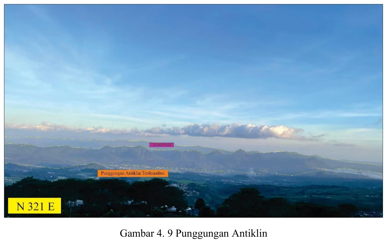
Ridge interpreted in an anticlinal setting
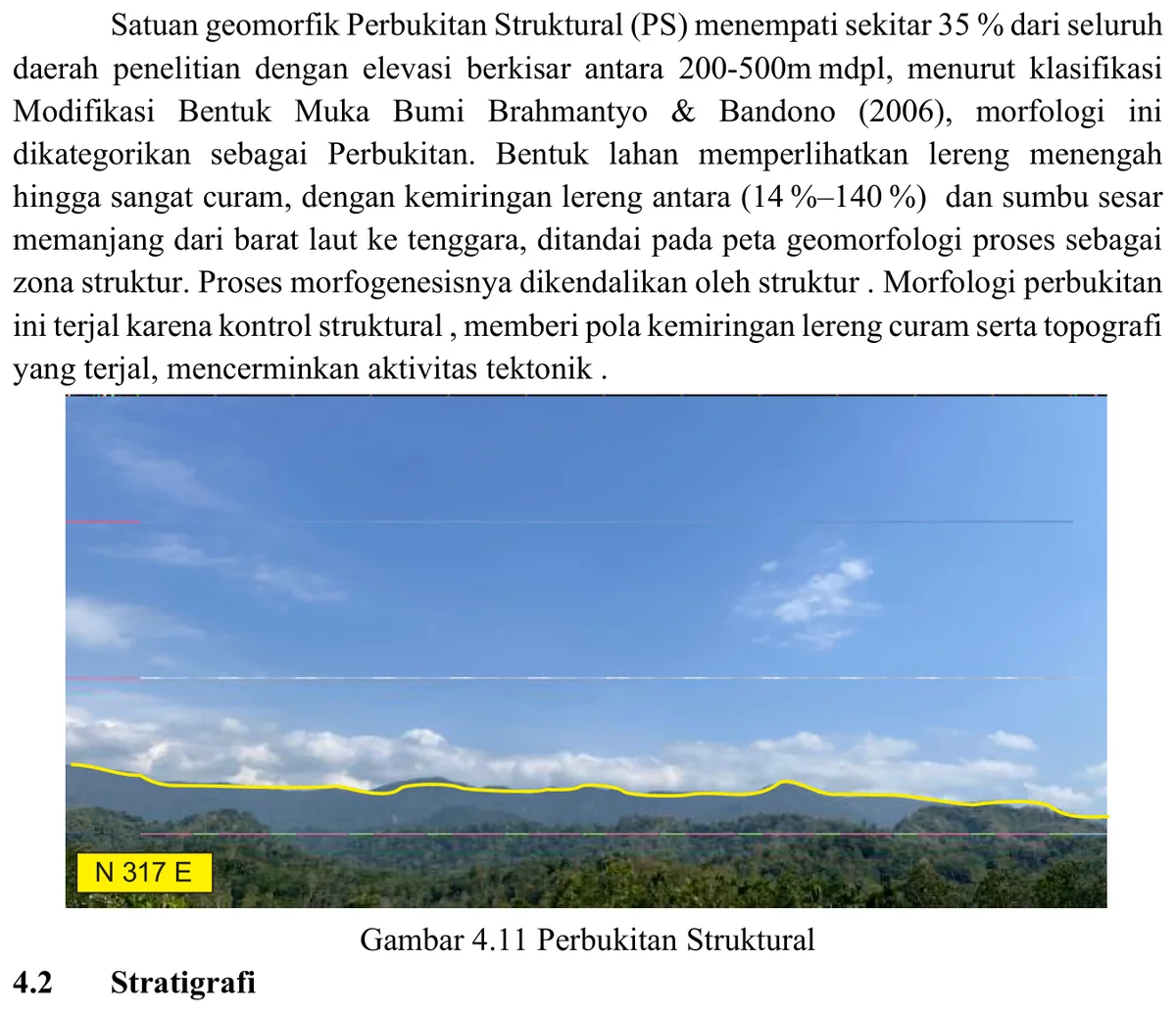
The ridge aligned with the interpreted anticline is consistent with a resistant bed exposed around a folded structural high, but positive relief is not direct proof of an anticline.
SOURCE-LED TECHNICAL READING
Geological interpretation and evidential boundary
The ridge aligned with the interpreted anticline is consistent with a resistant bed exposed around a folded structural high, but positive relief is not direct proof of an anticline. A rigorous test requires mapped repetition of stratigraphic units, outward or inward younging appropriate to the fold, systematic limb dips, closure or plunge evidence, and a fold-axis solution independent of the landform. A simple resistant lithologic rib, volcanic body or drainage divide could generate the same silhouette. Accordingly, the image contributes regional-scale geomorphic coherence to the fold model but should carry lower evidential weight than measured bedding and cross-section balancing. Its value lies in checking whether the proposed geometry explains landscape organisation without being derived from that landscape alone.
- Source
- Private mapping source vault · geological evidence record
- Location in source
- PDF page 63
- Image quality
- Source scan
- Record ID
- mapping-4-9