thesis-4-1
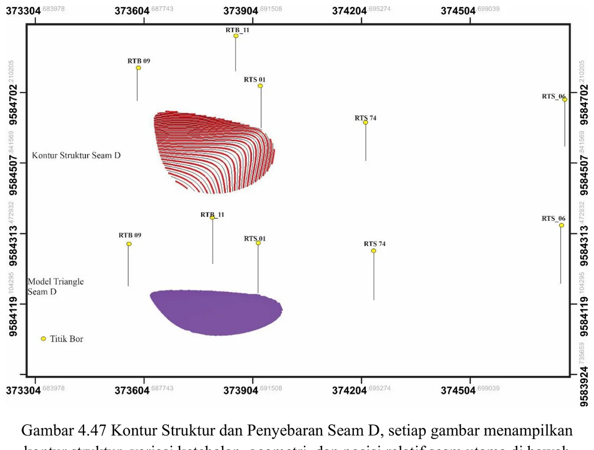
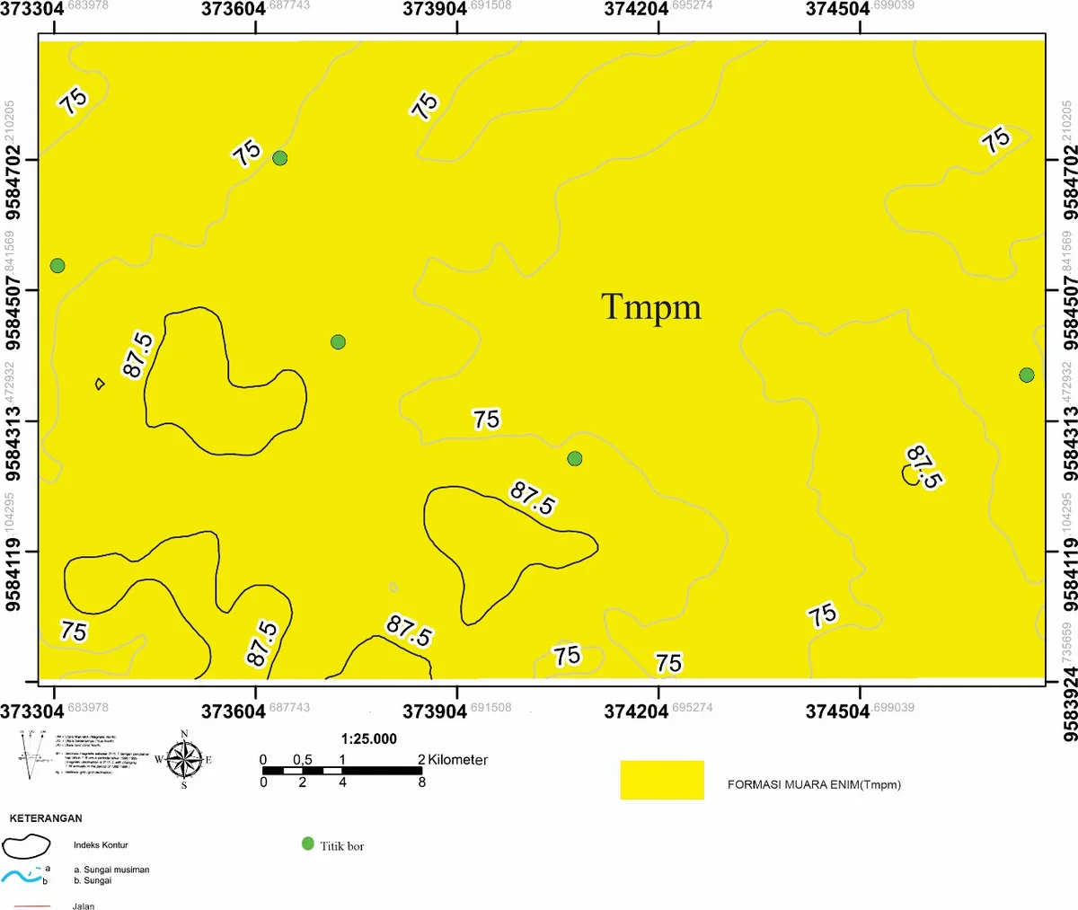
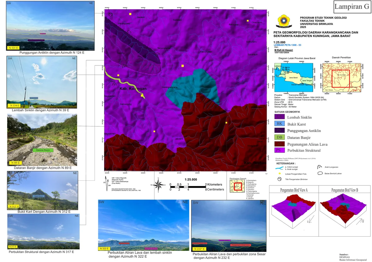
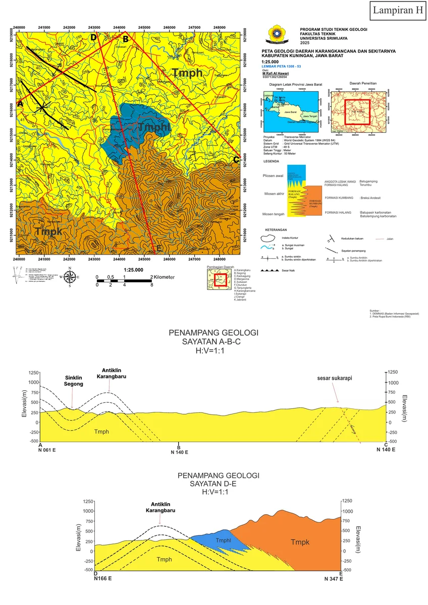
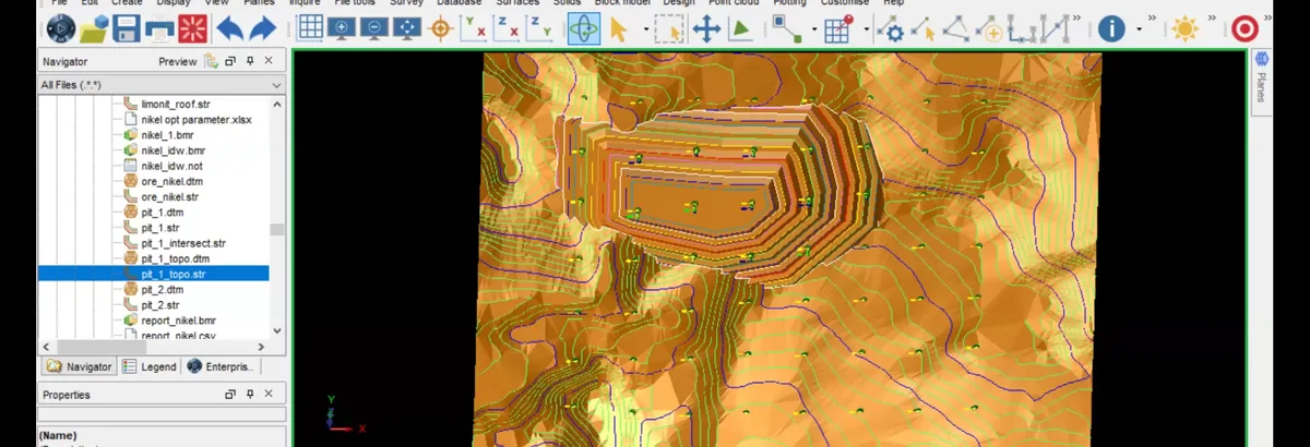
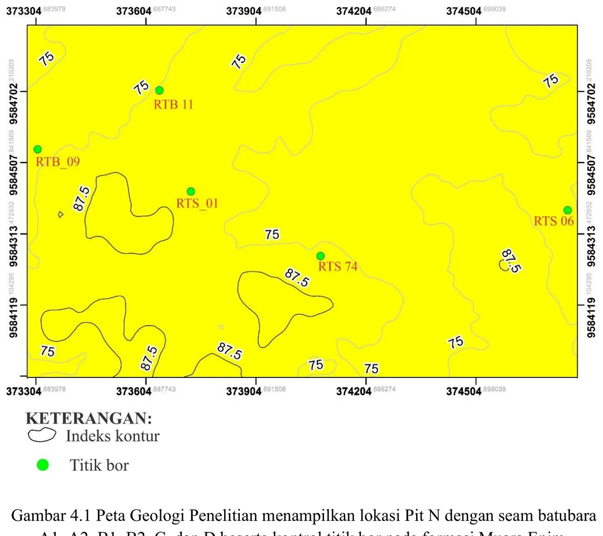
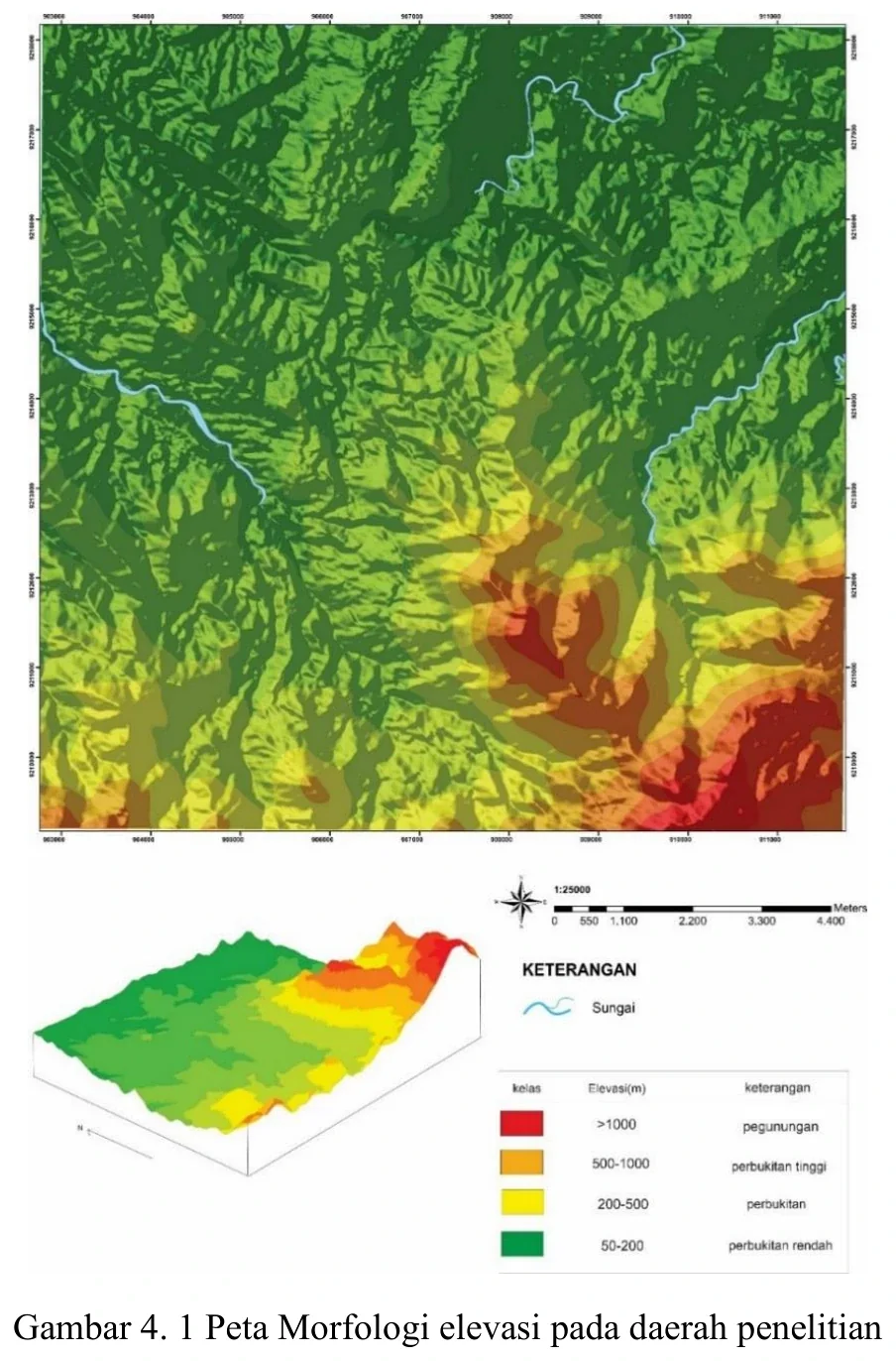
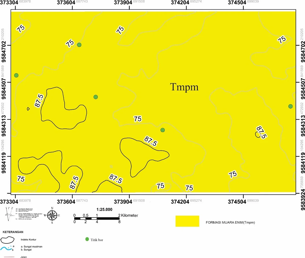
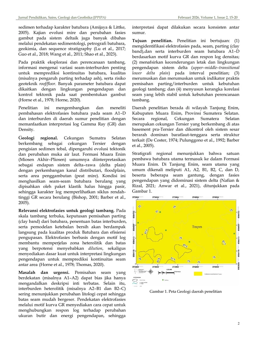
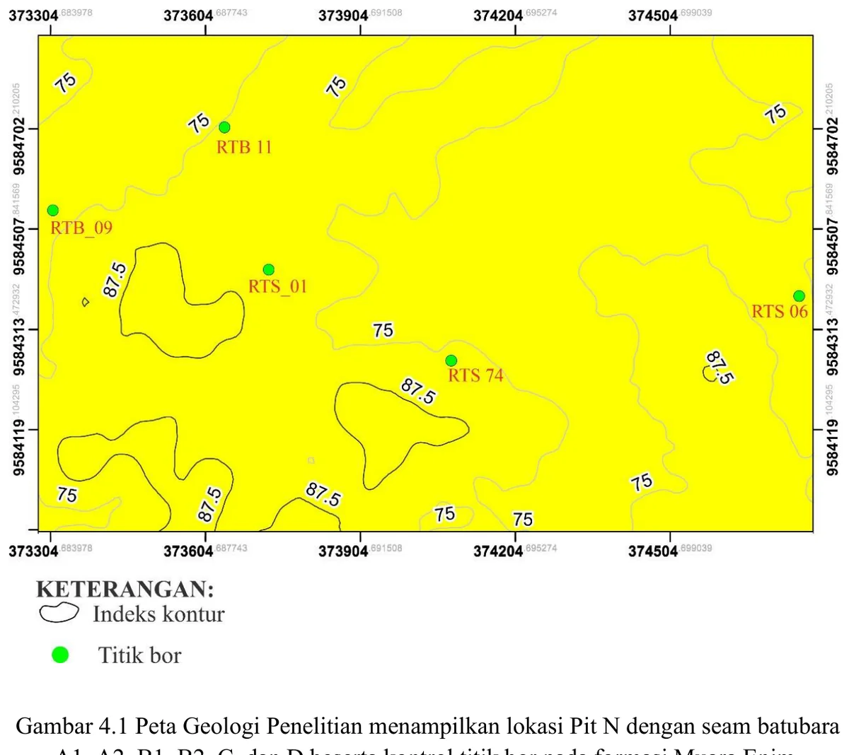
Research-area geological map and Pit N drillhole control
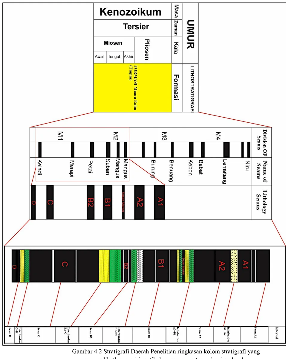
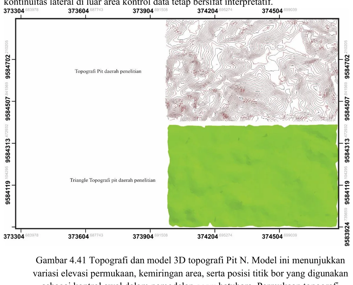
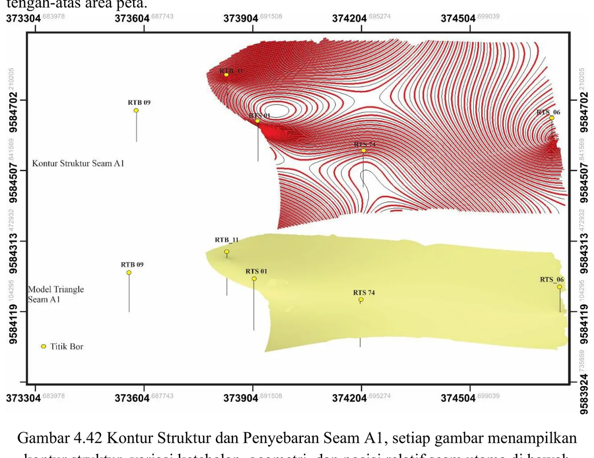
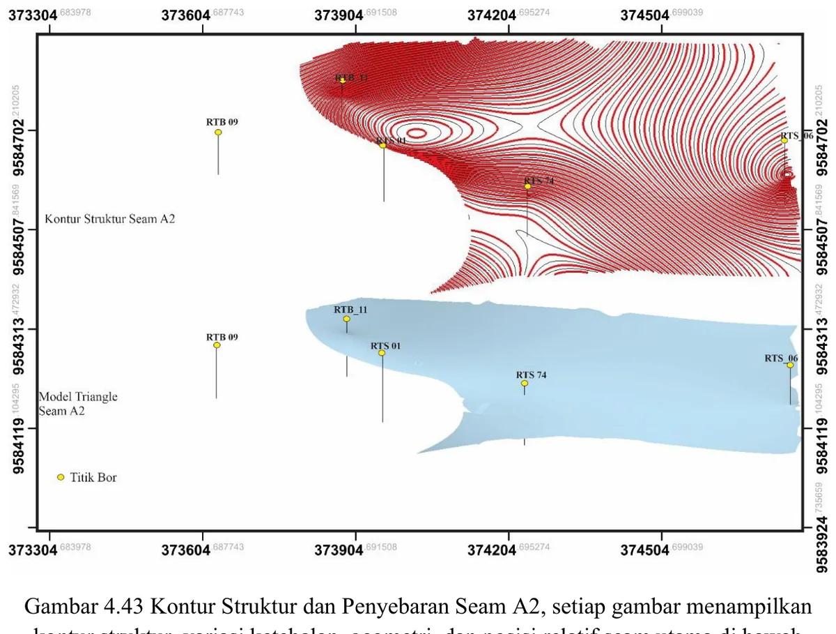
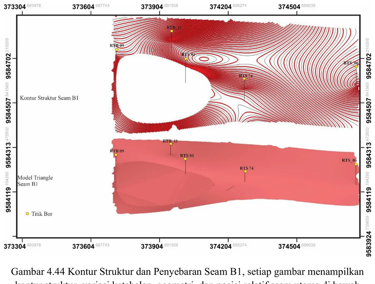
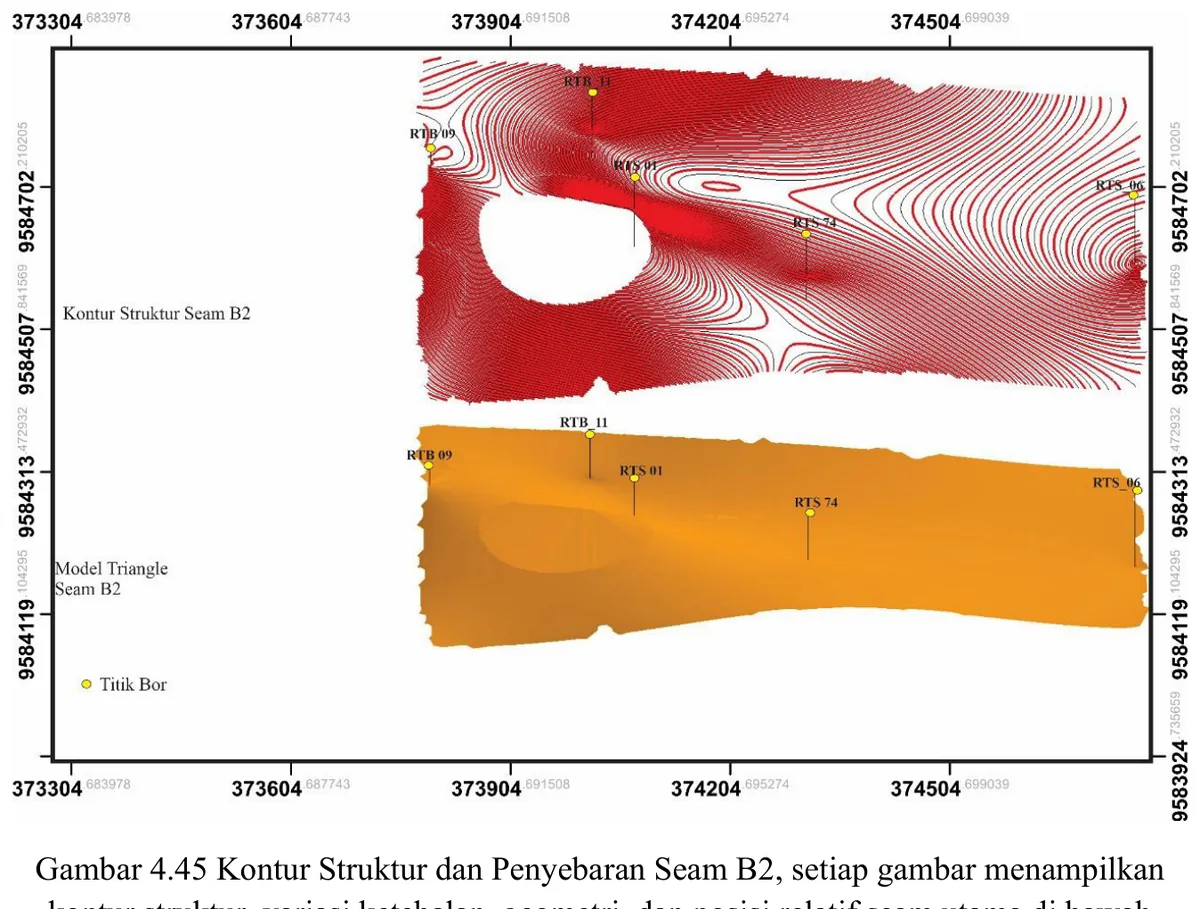
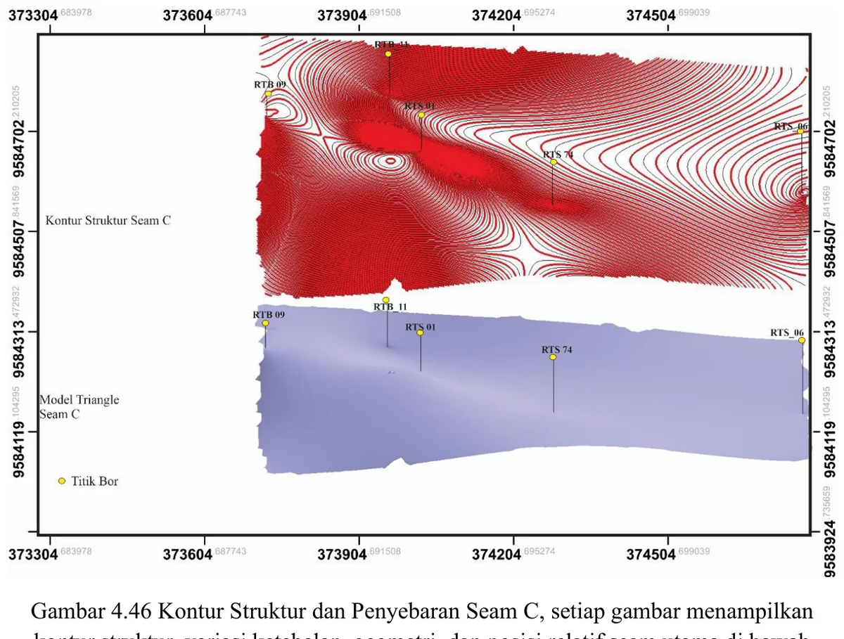
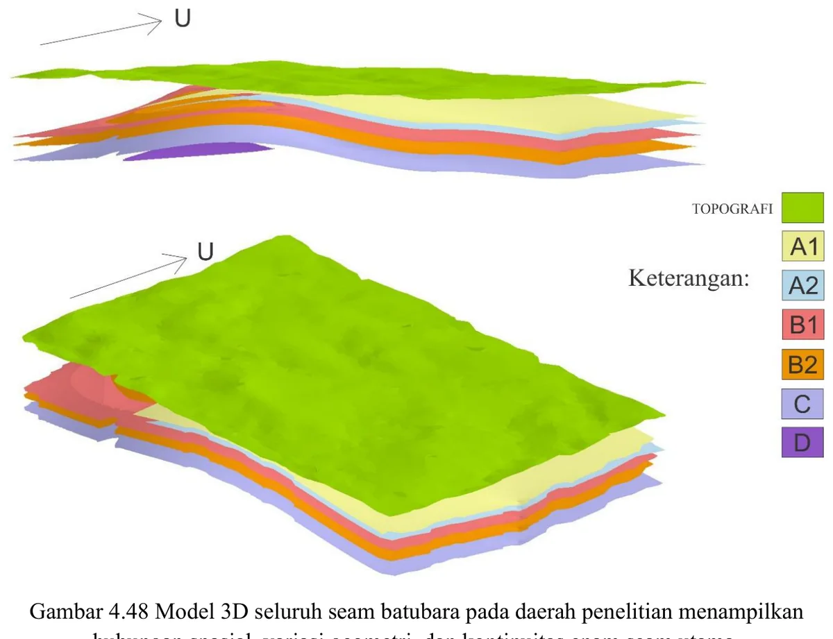
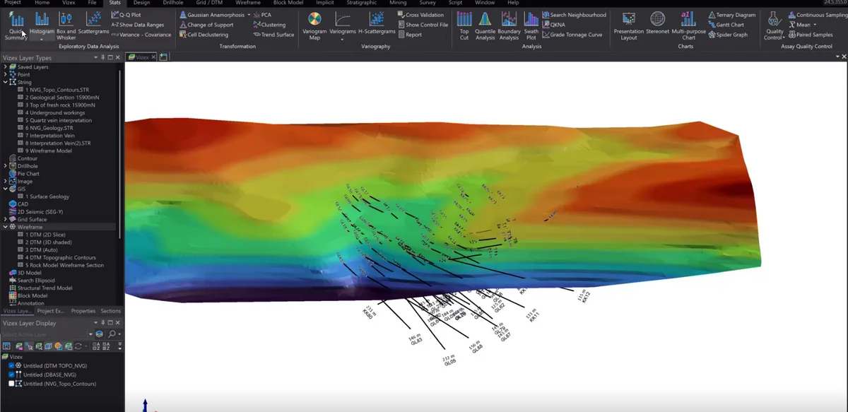
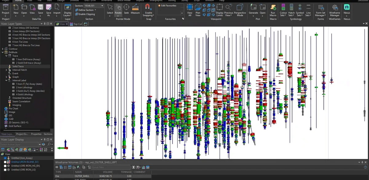
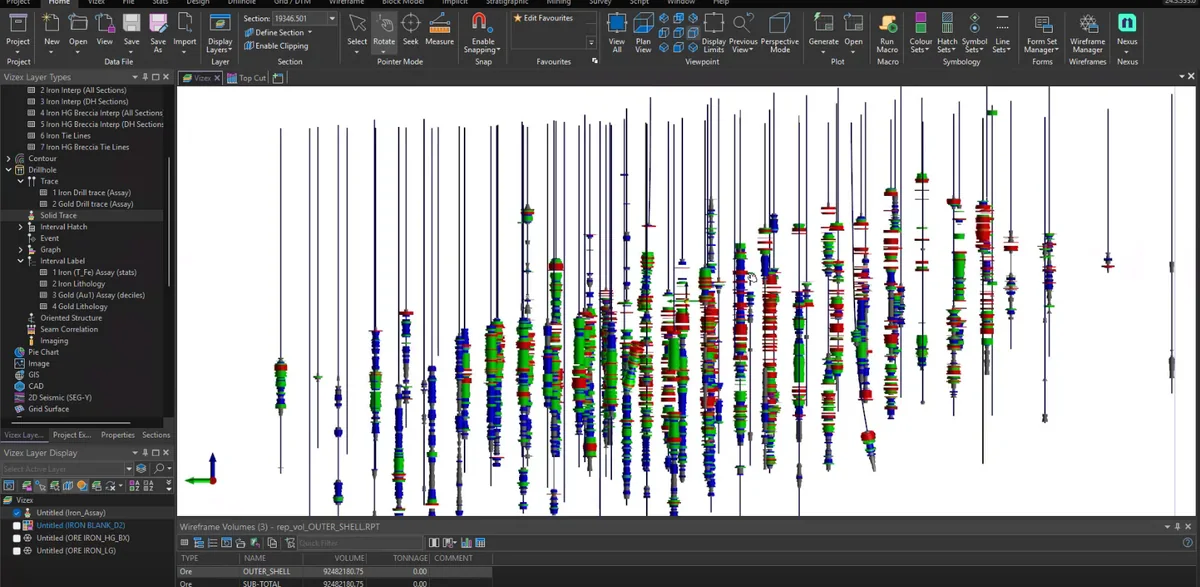
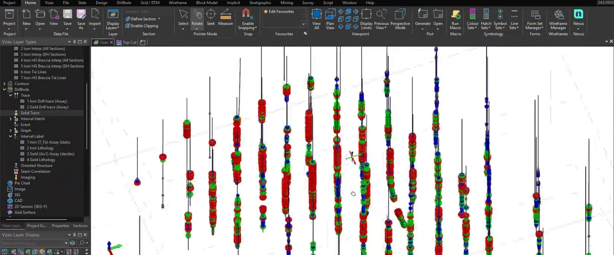
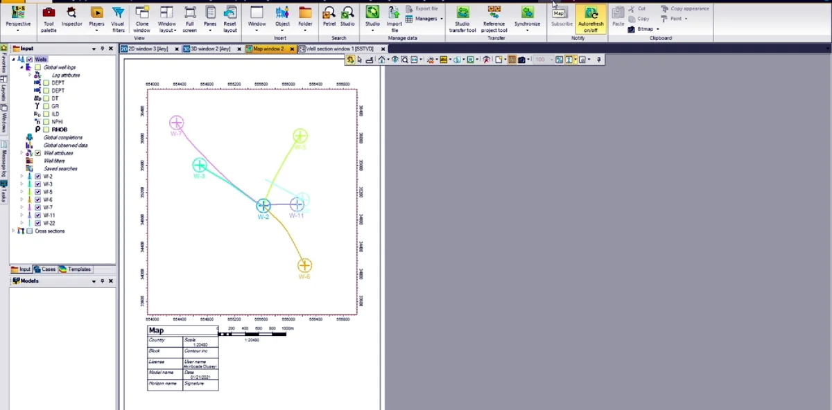
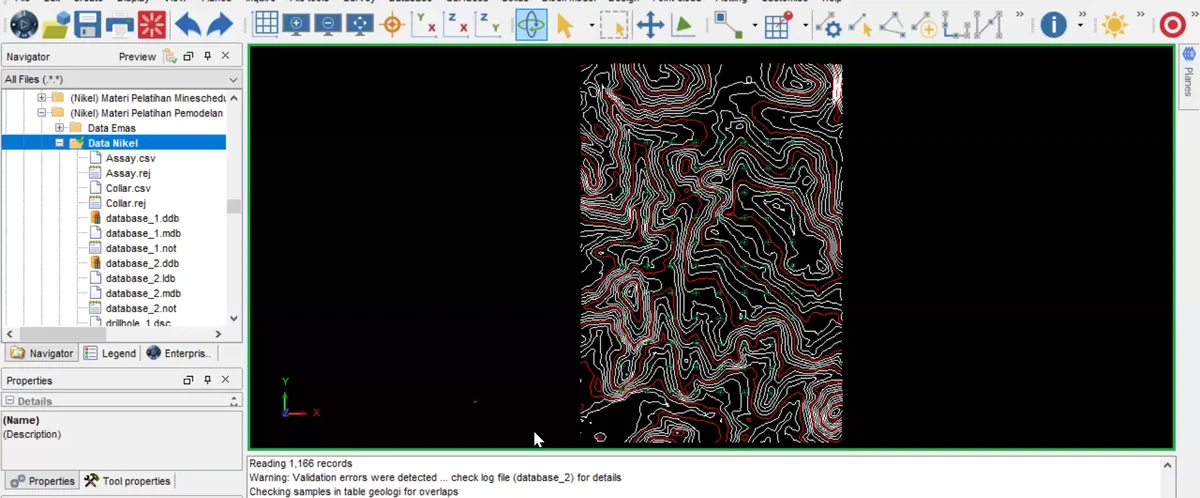
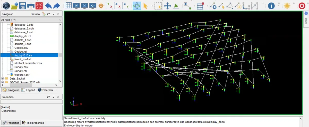
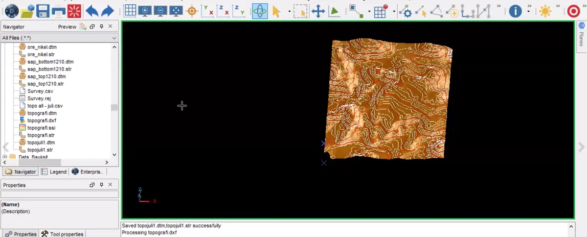
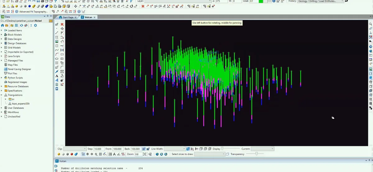
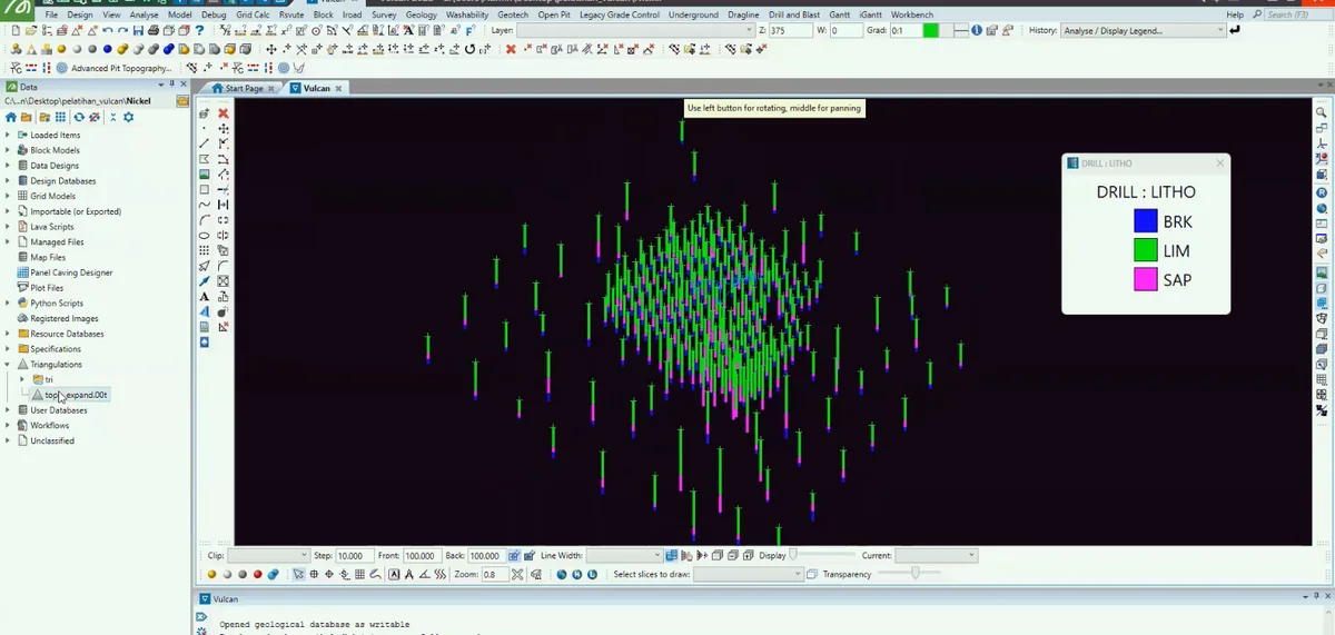
The geological map fixes the spatial problem before any facies or model interpretation begins: Pit N, mapped coal traces and the borehole collar distribution are shown in one reference frame. Boreholes constrain the subsurface only where they exist, so confidence should decrease away from collars and along extrapolated seam edges.